Visitors Guide to River Ferries
in the Middle Mississippi River Valley

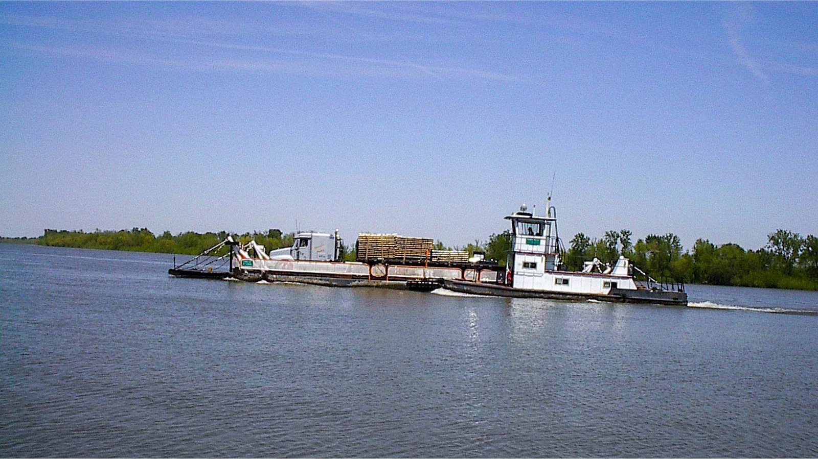
The Grafton Ferry crossing the Illinois Rivers
Early American ferries consisted of rafts, rowboats and horse boats that could cross rivers where demand for transportation existed but where there weren’t any easy crossings. The advent of railroads and bridges put most ferries out of business and motorized vessels replaced the earlier forms of transportation of those that survived. For modern travelers, the remaining ferries in operation can save time as well as providing scenic river views. The Middle Mississippi River Valley offers seven ferries, two of which travelers can cross free of charge. Five of these ferries are located in the Meeting of the Great Rivers Scenic Byway area and the others cross the Mississippi River between Ste. Genevieve, Missouri and rural Randolph County, Illinois and southeastern Missouri and western Kentucky.
Notes on using river ferries:
If you are planning a visit to any of the ferries in the Middle Mississippi Valley and believe the ferries might not be operating due to flood conditions or ice please call the numbers below for current information.
If fees and/or times are an issue please call ahead to confirm details.
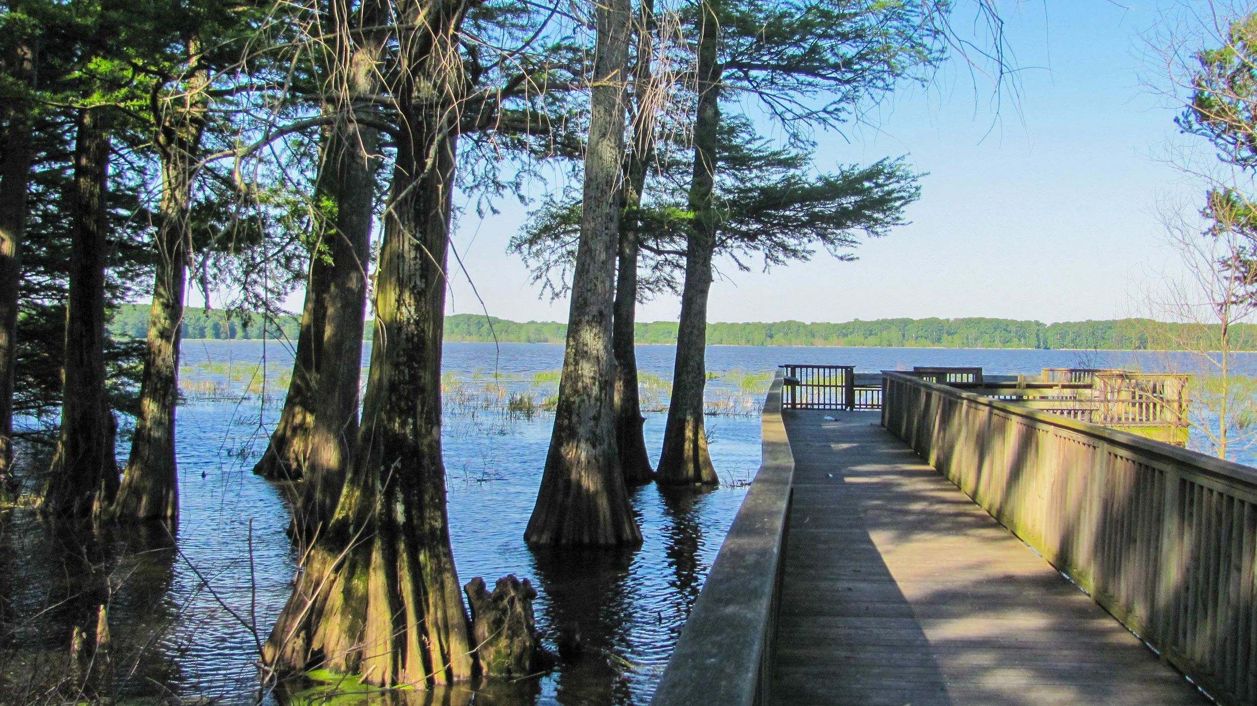
Calhoun County
Calhoun County is a 37-mile long, 5-mile wide piece of land that is the tip of the peninsula formed by the Mississippi and Illinois Rivers, and with the exception of its northern border, is surrounded by water. Railroads and bridges never made much headway into the region because of its lack of industrial development, rugged hill country, and proximity to steamboat landings. This has allowed Calhoun County to retain a unique historical charm as well as four ferries to prosper. The ferries close down when the river freezes over or floodwaters are very high. The rivers may freeze when the temperature drops below 32 degrees for an extended period of time with the Illinois River freezing before the Mississippi River.
Calhoun County Free Ferries
The Illinois Department of Transportation operates two free ferries 24 hours a day, 7 days a week.

Brussels Free Ferry
618-786-3636
Located about 1 mile west of Grafton and 4 miles east of Pere Marquette State Park, this ferry crosses the Illinois River linking Route 100 to Calhoun County and the village of Brussels. On busy days, such as weekends in the fall, there are two ferries operating to cut down on the waiting times. The ferries help keep the river free of ice during the winter and the action of their propellers stun fish and help bring them to the surface. These fish become easy prey for Bald Eagles making the Brussels Free Ferry Area one of the prime bald eagle watching spots in the region.
BARRIER FREE PARKING / BARRIER FREE PICNIC TABLES / EAGLE WATCHING
GPS Coordinates (Jersey County Landing): N 38° 58.074' W 90° 29.712'
Kampsville Free Ferry
618-653-4518
The Kampsville Free Ferry allows easy access to and from Jersey and Green Counties and Calhoun County. South of Kampsville near Hardin the Great River Road splits into an Eastern and Western Branch. Travelers taking the Eastern Branch will follow the original Meeting of the Great Rivers Scenic Byway route to the village of Eldred and by following Route 108 West will cross the Illinois River by means of the Kampsville Free Ferry into Kampsville where they will reconnect with the main branch of the Great River Road. This ferry takes cars from IL-108 from Jersey County into the town of Kampsville where it links up with IL-100 (the Great River Road south) and IL-96 (the Great River Road north)
PARKING / PICNIC TABLES / NEARBY RESTAURANTS / EAGLE WATCHING
Calhoun County Toll Ferries
There are two toll ferries operated by the Calhoun Ferry Company.

Golden Eagle Ferry
618-535-5759
Schedule:
Monday - Thursday: 5 am - 9 pm
Friday & Saturday: 5 am - 2 am
Sunday: 8 am - 9 pm
This ferry takes vehicles across the Mississippi River between the small town of Golden Eagle in Calhoun County in Illinois and St. Charles County in Missouri. To reach the Golden Eagle Ferry from Pere Marquette State Park or Grafton, cross the Brussels Ferry and continue on County Road 1 until you see the signs directing you to the ferry. From the Missouri side of the Mississippi River take MO-94 to County Road B north of St. Charles. Take CR-B west to Golden Eagle Ferry Road. Take Golden Eagle Ferry Road to the ferry.
PARKING / NEARBY RESTAURANT / EAGLE WATCHING SPOT
Winfield Ferry
618-535-5759
The Winfield Ferry is currently CLOSED
This ferry crossed the Mississippi River near the small town of Batchtown in Calhoun County into Lincoln County, Missouri connecting with Route 79. The ferry runs right next to the Sandy Island Bald Eagle Sanctuary & Lock and Dam #25 making it an ideal spot to look for Bald Eagles in the winter. Directions from the Missouri side of the river: From Main Street in the northern part of Winfield take CR N east towards the river to Pillsbury Drive and then Eagle’s Landing Drive to the ferry.
PARKING / EAGLE WATCHING SPOT
GPS Coordinates (Missouri Landing): N 38° 59.824' W 90° 41.177'
Grafton, Illinois
Located at the confluence of the Mississippi and Illinois rivers, Grafton has been the quintessential river town since its founding in 1832. The town’s main industry today is tourism and features many antique and specialty shops, places to eat, biking, hiking, and annual events.

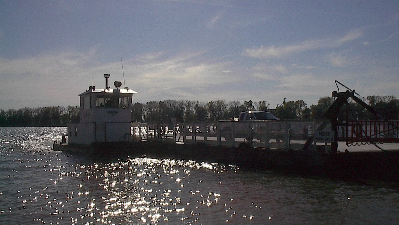
The Grafton Ferry
The Grafton Ferry is located on the Illinois side at the foot of Illinois Route 3, just upriver of the Grafton public boat ramp. On the Missouri side, it terminates just off of Grafton Ferry Road alongside the St. Charles County Airport. From there it is a short ride to highway 94 and about 10 miles to the St. Charles city line.
The Grafton Ferry season runs from late April 27 to late October and the first weekend in November.
Schedule:
Friday: 10 am - 10 pm
Saturday: 10 am - 10 pm
Sunday: 8 am - 8 pm
Monday - Thursday: Closed
For more information visit www.thegraftonferry.com
PARKING / NEARBY RESTAURANTS / EAGLE WATCHING
GPS Coordinates: “Grafton Landing): N 38° 57.460' W 90° 26.145'
Sainte Genevieve, Missouri
Sainte Genevieve is in the heart of the French Colonial Country of the Middle Mississippi River Valley. Situated about an hours drive south of St. Louis. Sainte Genevieve offers its visitors a glimpse into the past with the largest concentration of French Colonial architecture in the North America, many of which are open to the public.
Sainte Genevieve-Modoc Ferry
North Main Street
Sainte Genevieve, Missouri
Follow N. Main Street about 1 1/2 miles from the Historic District of Sainte Genevieve to the Little Rock Landing on the Mississippi River. The Modoc Landing is accessible from IL-3 and IL-155 in Randolph County on the Illinois side. The ferry runs during daylight hours approximately every fifteen minutes and a fee is charged. Unsuitable water levels or freezing may cause ferry crossing interruptions. A good way to check the ferry’s status without going to the landing is to visit its website.
GPS Coordinates for the Sainte Genevieve landing: N 38° 00.246' W 90° 03.554'
PARKING / EAGLE WATCHING

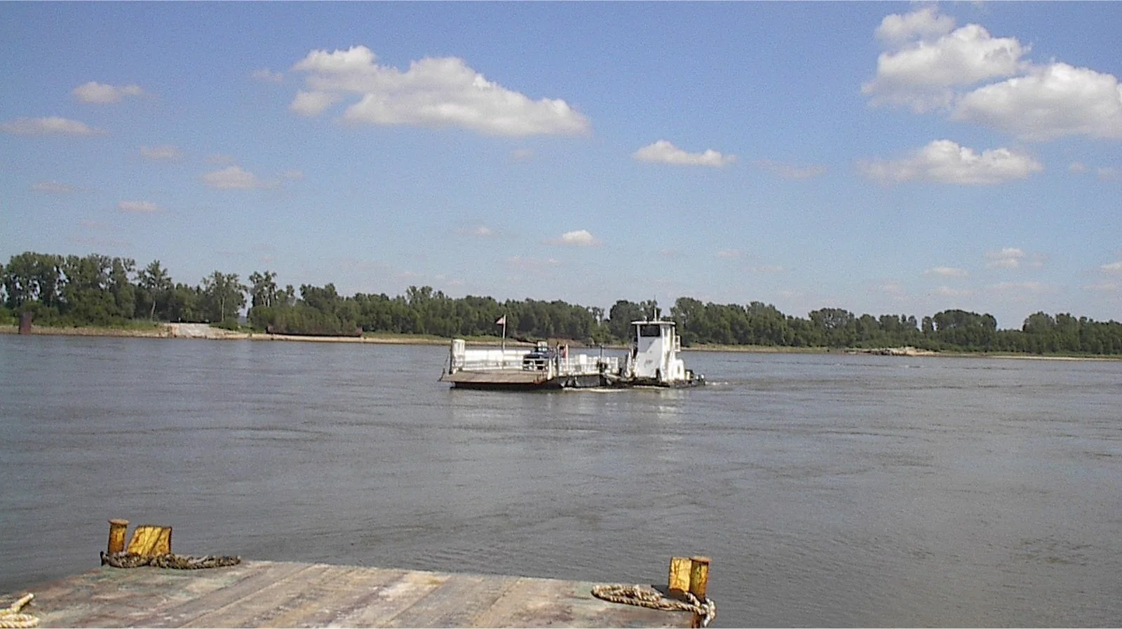
Dorena-Hickman Ferry
State Hwy A, East Prairie, MO
Riverfront area of Hickman, KY
731-693-0210
The Dorena-Hickman Toll Ferry is one of the few remaining riverboat ferries in the United States and the only operating ferry crossing the Mississippi River between Missouri and Kentucky. A ride on the ferry provides a unique opportunity to experience the wonder and beauty of the Mighty Mississippi. The Dorena-Hickman Toll Ferry can be accessed at the end of State Highway A near Dorena, MO or Hickman Ferry Crossing off Kentucky State Highway 1354. The ferry operates during daylight hours seven days a week year round except Christmas Day.
PARKING