Meriwether Lewis
1774-1809
Meriwether Lewis has been called "undoubtedly the greatest pathfinder this country has ever known." Born in 1774 in Virginia, his father was a planter family who had been an officer in the American Revolution and died when Lewis was 5 years old. After briefly assuming the management of his family's plantation, Lewis joined the Virginia state militia in 1794 to help put down the Whiskey Rebellion in Pennsylvania. He continued his military career as an officer in the regular army, serving on the frontier in Ohio and Tennessee, and rising to the rank of captain. In 1801 he accepted an invitation from President Thomas Jefferson, an old family friend, to serve as his private secretary. Jefferson had been planning a transcontinental expedition for many years. When Jefferson proposed an expedition in 1792, Lewis was one of the first to volunteer, but was disqualified because of his youth and inexperience. When Jefferson became President and again brought the idea to the forefront, Lewis’ military experience on the frontier made him Jefferson’s choice to lead the expedition. While Jefferson sought to procure funds for the expedition, he also laid out a course of studies for Lewis. Between 1801 and 1803, Lewis studied with members of the faculty at the University of Pennsylvania and gathered information needed for the project.
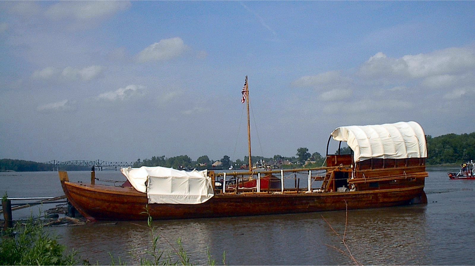
After selecting William Clark, a fellow Virginian with whom he had served on the frontier in 1795 as co-leader of the expedition, the two set out by keelboat in 1803 to Wood River, Illinois where they set up winter camp. On May 14, 1804 the Corps of Discovery began their journey up the Missouri River. By October they reached the Mandan villages in present day North Dakota where they made camp for the winter. Their stay with the Mandan quickly made it clear just how much the explorers would need the goodwill of the Native Americans to succeed. The Mandans gave them food, military protection, and valuable information about the path ahead. Their most valuable help came in the form of Touissant Charbonneau, a French Canadian interpreter, and his Shoshone wife Sacagawea, who served as guide and interpreter.
In April of 1805, the expedition left the Mandan village and started up the Missouri again and reached the upward limit of the river's navigable stretch four months later. A band of Shoshone led by Sacagawea's brother provided assistance, primarily horses, as the expedition began to ascend the Rocky Mountains. By late September, after crossing the Bitterroot Mountains, the exhausted Corps were taken in by the Nez Percéé. They then traveled down the Columbia River basin and reached the Pacific Ocean in November of 1805. After staying the winter on the Pacific Coast they made their return trip to the United States in 1806 following essentially the same route that had brought them West.
Upon his return, Lewis was regarded as a hero and reaped the benefits. In 1808 he assumed the post of Governor of the Louisiana Territory. Lewis proved himself to be a poor administrator, quarreling with his territorial secretary and local leaders and failing to keep Washington informed of his actions and policies. Lewis died a mysterious death in a tavern about 70 miles southwest of Nashville, Tennessee on the Natchez Trace in September 1809. Some believe he committed suicide, Jefferson included, and others, such as his family believe he was murdered.
William Clark
1770-1838
William Clark was born on August 1, 1770, the sixth son and ninth child in a family of 10 children. All of Clark’s brothers were Revolutionary War veterans, including the famed George Rogers Clark. After the War was over, the Clark family migrated from Virginia to Mulberry Hill, near Louisville, Kentucky. Clark learned about wilderness skills and natural history from his older brother, George. Clark began his military career at age 19 when he joined the Kentucky Militia. He later joined the regular army and "learned how to build forts, draw maps, lead pack trains through enemy country, and fight the Indians on their ground." On two occasions, Clark was sent to spy on the Spanish, who at the time were exploring and building forts on the east bank of the Mississippi. By 1795, he had received successive promotions and attained the rank of Captain. It was at this time that Meriwether Lewis was assigned to Clark. The two struck up a lasting friendship that would lead to their co-commanding the Corps of Discovery.
Once the terms of the Louisiana Purchase were agreed upon on April 30, 1803, it became clear that the expedition’s mission was not simply scientific inquiry, geographic mapping, and commercial development of the unexplored territory. The expedition’s mission needed to be expanded to include conveying to all Native American tribes and foreign interests the transfer of sovereignty to the United States.
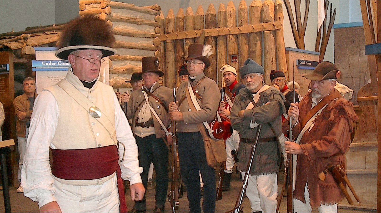
The increased importance of the exploration warranted an additional commander to assist Lewis, who had been chosen by President Jefferson to lead the expedition. Lewis, with the Jefferson’s concurrence, wrote to Clark offering a permanent commission as Captain and shared command of the expedition. In mid-October, Clark joined Lewis at Clarksville, Indiana Territory, opposite Louisville. The Corps of Discovery reached St. Louis in mid-December, 1803, but because the transfer of the Louisiana Territory had not been officially completed and the Americans lacked passports, the Spanish commandant at St. Louis denied the explorers entry to Louisiana Territory. Lewis and Clark decided to establish their winter camp at the confluence of the Mississippi and Missouri rivers. Clark, the more experienced outdoorsman, would supervise the building of their 1803-1804 winter camp.
The Spanish commandant at St. Louis denied the explorers entry to Louisiana Territory due to their lack of a Spanish passport. Consequently, they established their camp on the east side of the Mississippi, at River Dubois, Illinois Territory, opposite the confluence of the Missouri River with the Mississippi. Clark, the more rugged frontiersman, would supervise the building of their 1803-1804 winter camp and train the men in army regimen and for the rugged conditions that they would encounter.
On May 14, 1804, the expedition broke camp and proceeded up the Missouri River reaching Fort Mandan by the end of October where they set up winter camp. Of the two captains, Clark was the expedition’s cartographer. The first significant map he drafted was completed during the Corps’ stay at Fort Mandan during the winter of 1804-05. This map contained all the new information and corrections from their explorations and conversations with traders and Native Americans. The map focused on the areas between the upper Mississippi and the Missouri, and the major tributaries of the lower and middle Missouri. Although there were several inaccuracies in the map, this updated map was a valuable reference. As the Corps proceeded on to the Pacific, Clark continued to keep careful compass records, measure distances and produce detailed strip maps for areas between major landmarks. The maps included notes on native botanical, zoological specimens, and potential mineral deposits. These strip maps were incorporated into the larger map drafted at Fort Mandan and would be of critical importance to U.S. expansionist forces in years to come.
After completing the expedition, Clark visited Washington in January of 1807 to receive his rewards for having successfully completed the expedition: double pay while on service with the Corps (amounting to $1,228); a warrant for 1,600 acres of land; and a double appointment as Brigadier General of Militia and Superintendent of Indian Affairs for the Territory of Upper Louisiana.


