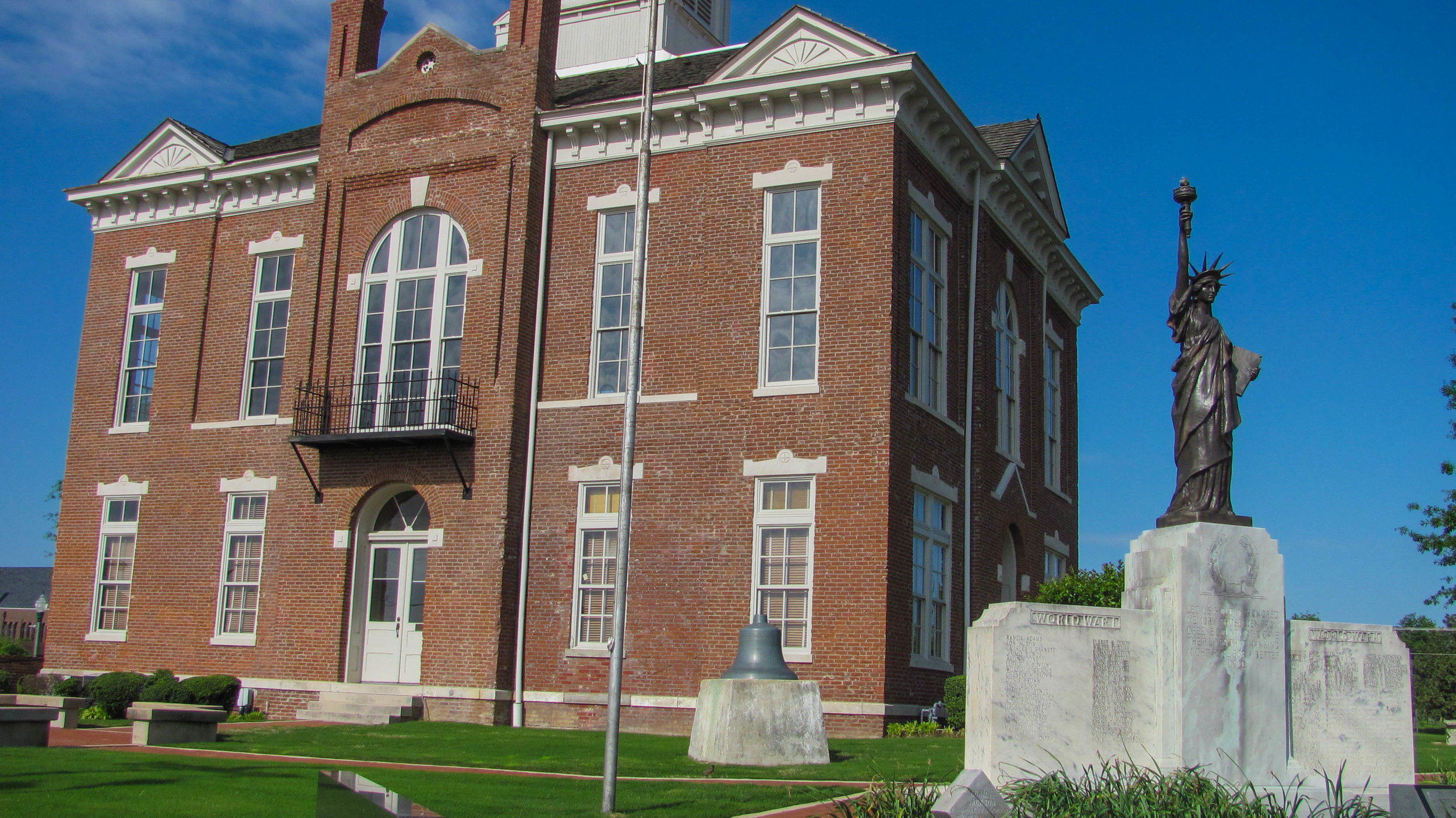
37801 State Hwy WW
Campbell, MO
573-748-5340

The town of Chalk Bluff, now long gone, was the site of several skirmishes during the Civil War, the most significant of which was the May 1 to May 2, 1863 action as General John S. Marmaduke retreated from an unsuccessful raid into Missouri. The battle and the town's history are interpreted though markers placed along walking trails.
The most notable geological feature in the northeast Arkansas and Bootheel of Missouri area is Crowley’s Ridge. This narrow rolling hill region rises 250 to 550 feet above the alluvial plain of the Mississippi River lowlands for approximately 150 miles. Since Crowley's Ridge provided the only natural route for north-south travel across the lowlands of northeastern Arkansas, a Native American trail and later a military road crossed the river here. Along the southern side of the St. Francis River, which forms the Arkansas-Missouri Border, is an almost insurmountable bluff about seventy feet higher than the bottom on the other side - a formation called Chalk Bluff. Around 1840 Abraham Seitz established a ferry to transport traffic across the river around which the town of Chalk Bluff grew. The town faded into oblivion after away after 1882 when the railroad bridged the river downstream at the new town of St. Francis.
The town was the site of several small Civil War battles during 1863. On March 10, 1863 Union cavalry captured the ferry after a three-hour fight. They burned buildings and stores of corn in Chalk Bluff and destroyed a uncompleted ferry boat. Two weeks later on March 24, Union cavalry returned to Chalk Bluff pursuing retreating Confederates. On April 20, Confederate cavalry surprised and routed a Union encampment across the river from Chalk Bluff.
The most notable action was the Battle of Chalk Bluff, where Confederate Brigadier General John S. Marmaduke successfully got his forces across the St. Francis River after a failed raid into Missouri. Marmaduke had led a successful raid in January, 1863, on Springfield, Missouri and convinced Lt. General Theophilus H. Holmes, commander of the Trans-Mississippi Department, that a second, larger raid would rally Southern sympathizers and possibly capture parts of Missouri. On April 17, Marmaduke led a force of over five thousand men across the border into southeast Missouri to strike the Union army under Brigadier General John McNeil at Bloomfield, Missouri. Bad weather hampered Marmaduke’s forces and McNeil managed to retreat to the safety of the fortifications at Cape Girardeau. Unwilling to risk his command in an all-out assault on Cape Girardeau, and with a second Federal force under Brigadier General William Vandever arriving with reinforcements Marmaduke chose to retreat. Marmaduke was almost caught at Chalk Bluff but a successful delaying action and the construction of a makeshift bridge by famous Missouri raider Jeff Thompson, the "swamp fox of the Confederacy," allowed Marmaduke and his forces to escape to the safety of Arkansas. Park features include picnic facilities and rest rooms.

Hiking
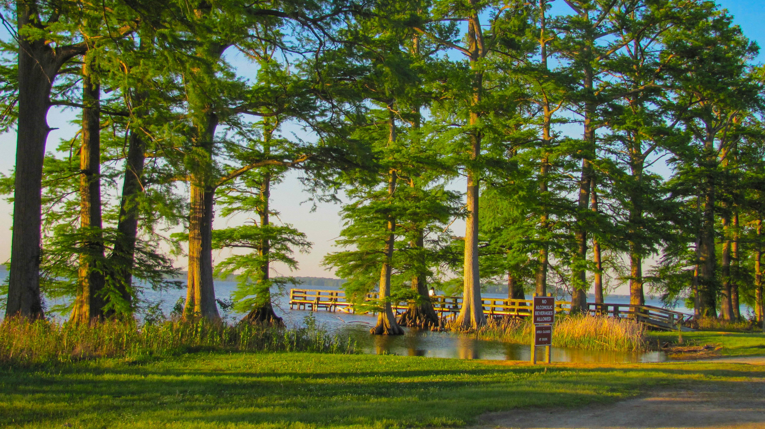
Chalk Bluff Battlefield Park offers handicapped accessible trails where visitors can take a walk around the wooded battle site, which is listed on the National Register, and learn more about it through the interpretive markers along the trails. Although the hiking trails are paved there are sections where the grade can be steep.
Visiting the Chalk Bluff Battlefield Park
Daily: 8 am - 5 pm
There is no charge to visit the Chalk Bluff Battlefield Park.
A note about accessibility: The hiking trails are paved but there are sections where the grade can be steep.

Directions: The Chalk Bluff Battlefield Park is located west off St. Francis and can be accessed by taking County Road 341 (Collins Street/US 62) 1.5 miles from the edge of St. Francis and then take a left (north) onto County Road 347 and travel 1.7 miles to the site.

Explore the nearby community of St. Francis