37801 State Hwy WW
Campbell, MO
573-748-5340
At 161 acres, Morris State Park is among Missouri’s smallest state parks. But the natural features of the park represent a geologic phenomenon known as Crowley’s Ridge. The ridge, named after Benjamin Crowley, a participant of the War of 1812 and one of the first settlers of the area, runs for some 150 miles along the Mississippi River floodplain of southeast Missouri into northern Arkansas. Its wooded hills rise up to 250 feet above the surrounding fields of cotton, corn, rice and soybeans. Crowley’s Ridge was built of many thick layers of gravel and sand that were washed in from the ancient Ozarks when, eons ago, this region a part of the Gulf of Mexico. After the ocean receded the region was subjected to torrents of water from ice age glaciers that stripped most of the sediments from the Bootheel region leaving Crowley’s Ridge. Huge dust storms added as much as another 50 feet of sediment known as loess to the ridge.
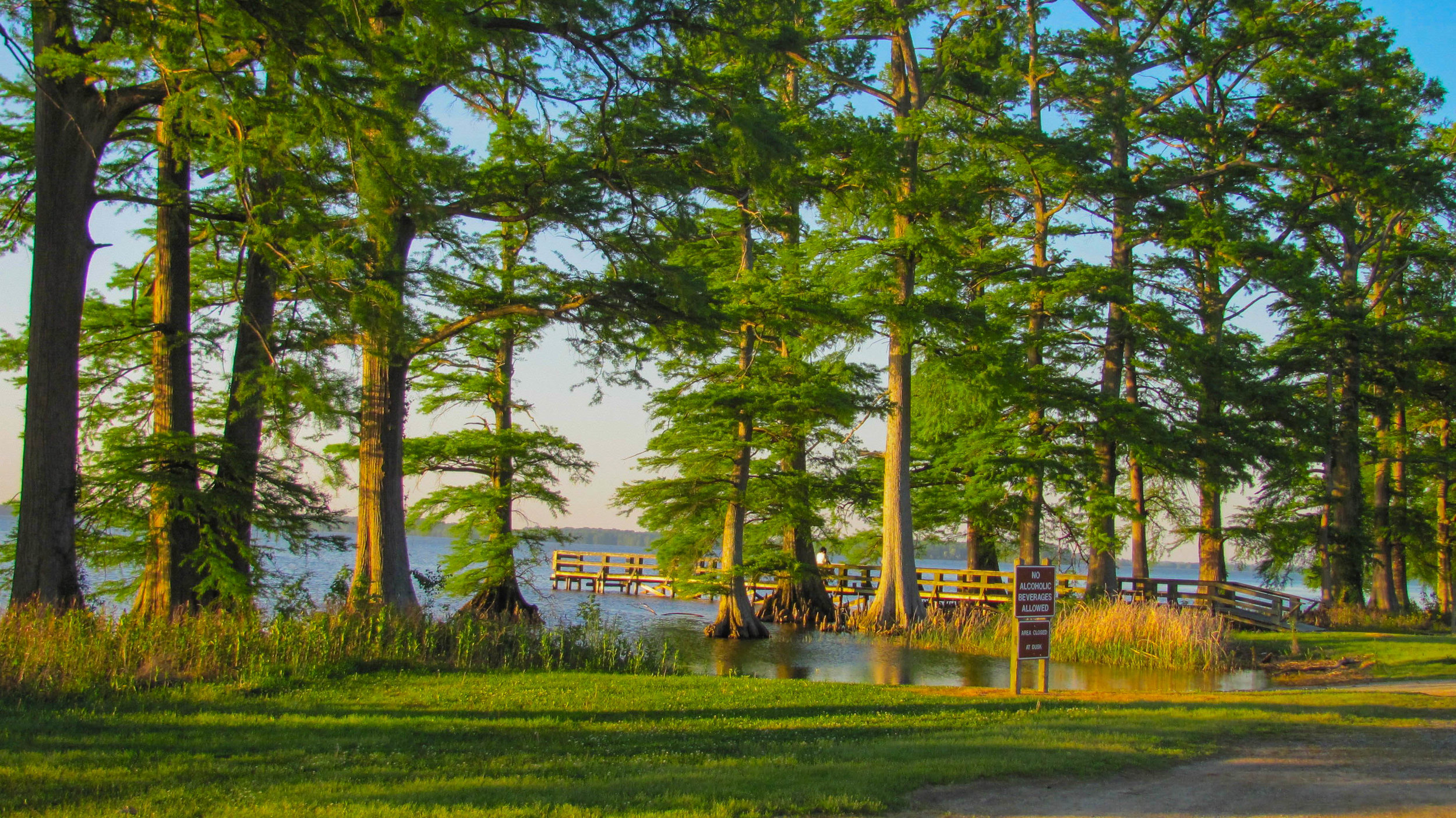
The natural landscape of the park is home more than 300 different types of plant species, some which are native in Missouri only to Crowley’s Ridge. The uplands contain large white, post and red oaks. The middle to ground level layers of the forest contains such species as sassafras, red maple, and dogwood. The lush hollows teem with ferns and shade-tolerant wildflowers beneath American beech, sweet gum and tulip poplar treesy. Rare species and some of the plants restricted to the southeastern portion of Missouri include the red buckeye and Hercules club, both understory trees, as well as overcup, cherrybark and willow oaks. Several sedges and grasses have been identified in this park that are not found in any other state park in Missouri. Most are found in the rare sand forest, acid seeps, and the remnants of the former Malden Prairie, which are prized features of this park.

Hiking
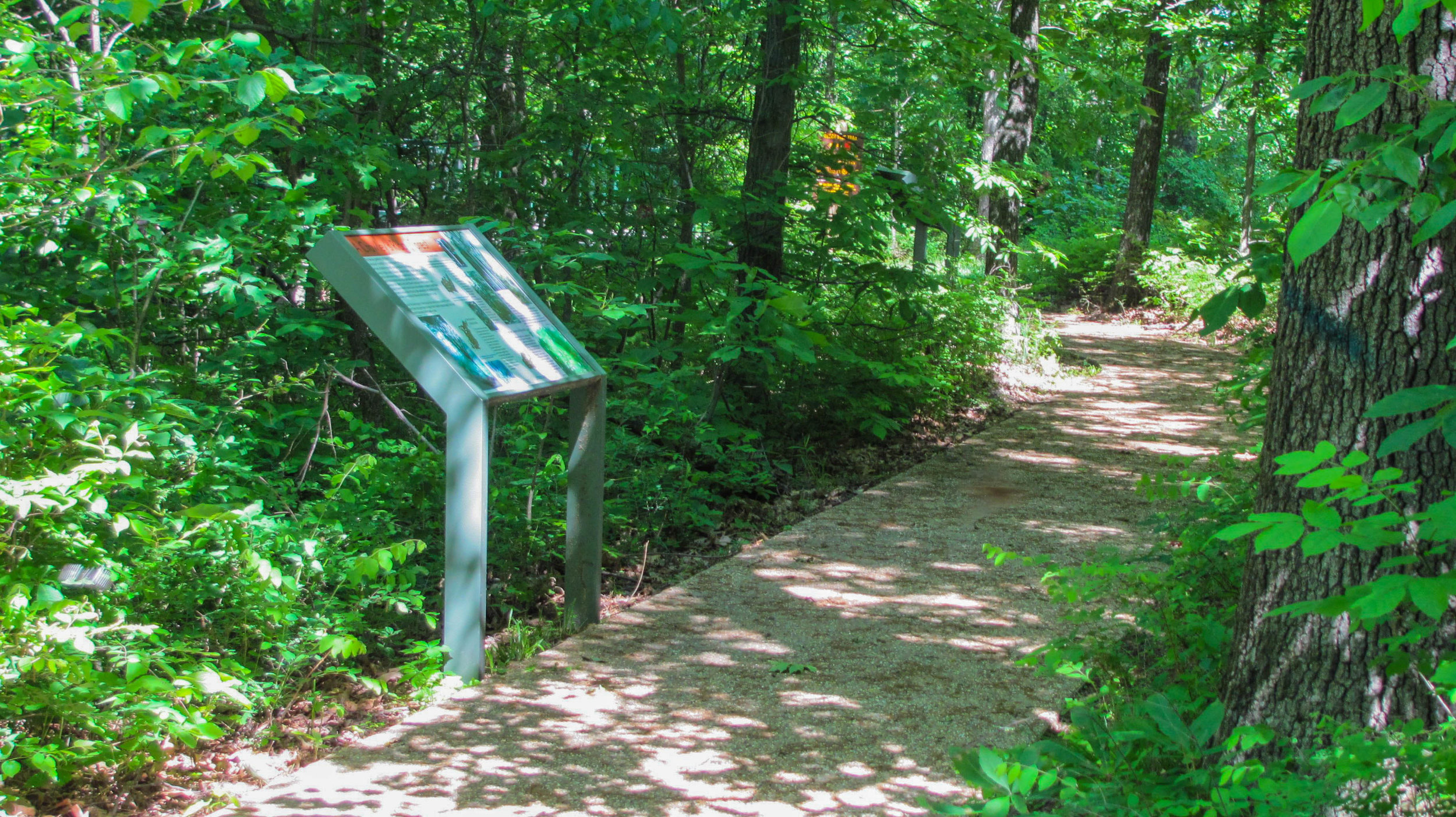
The Missouri Department of Natural Resources wants to preserve the park’s natural integrity so only minimal development has been undertaken. Beech Tree Trail, a 2.25 miles loop trail leads hikers from the top of the ridge down into bottomlands and returns along the ridge top, passing through all of the different natural communities. The trailhead features an accessible walkway with interpretive panels that leads to an overlook with bench seating. A restroom, parking area, and water are also available for visitors near the trailhead.
The park is named for Jim D. Morris, who donated land he purchased near his family’s homestead. Morris became the largest independent marketer for petroleum fuels in Missouri. Morris Oil owns the Village Mart string of convenience stores in the Springfield and Branson areas. Morris’ parents were cotton and vegetable farmers in the area and Morris also bought approximately 40 farms in the area around his old homestead. In 1999 Morris donated land to the state in 1999 which became the park because “The land has so much history behind it. And I had no one to guard these old trees. I didn’t want them to be cut for firewood.”
Visiting Morris State Park
Dawn to dusk daily
Free
A note about accessibility: The trailhead features an barrier free walkway that leads to an overlook, which provides views of the surrounding forest. The rest of the trail is paved but the terrain has excessive slopes and the path is not considered accessible.

Directions: Take State Highway J 4 miles west of Malden to State Highway WW. Take State Highway WW 1 mile south to Morris State Park.

Explore the nearby community of Malden


Morris State Park - The official website of Morris State Park.