Access from several State Highways
including AR-63, AR-69, AR-135 & AR-18
Craighead, Greene, Poinsett, & Clay Counties, Arkansas
800-364-4263
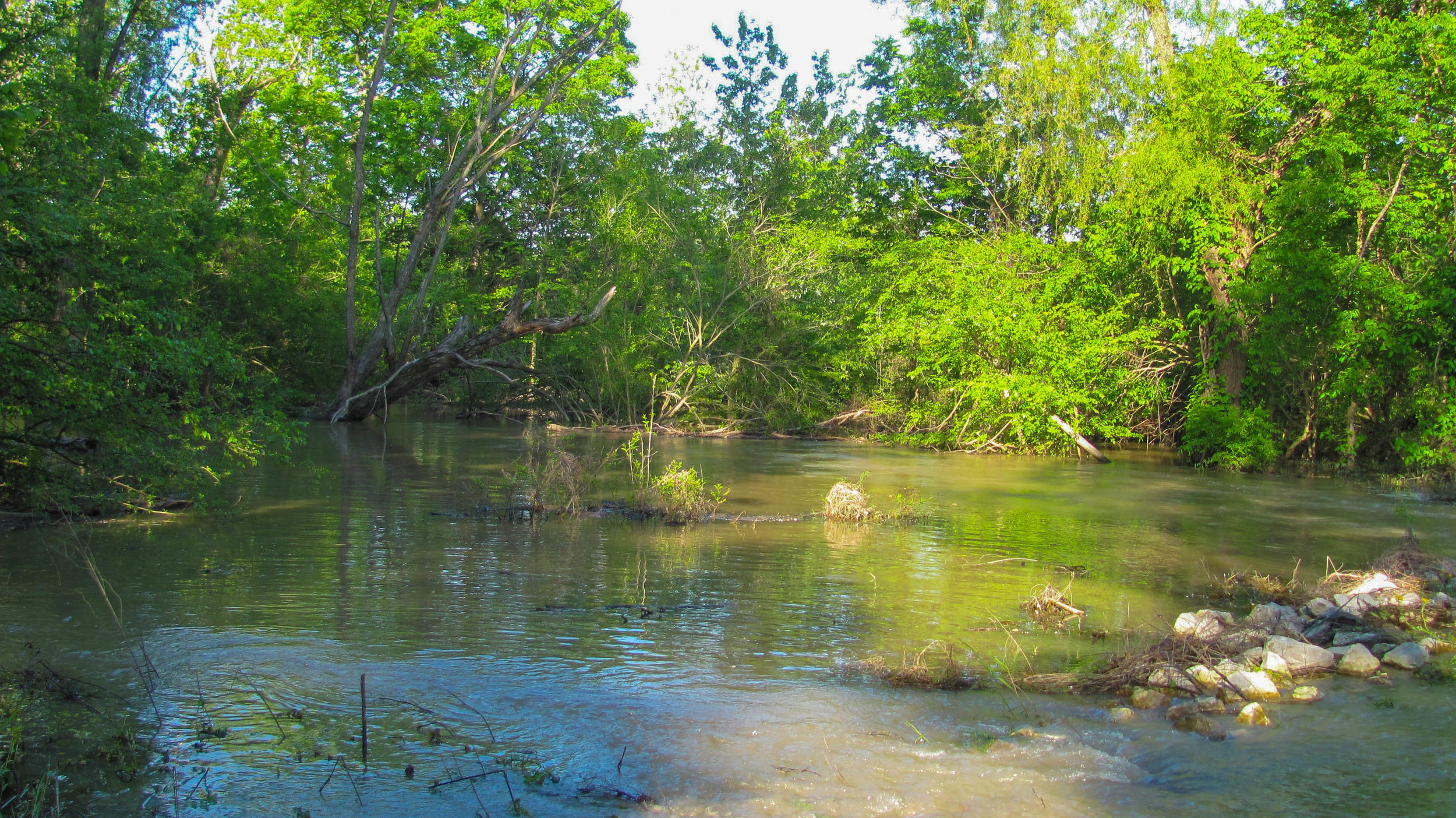
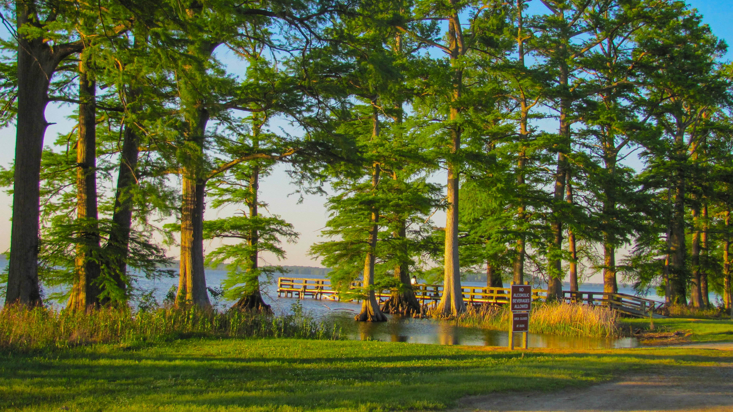
The Sunken Lands Wildlife Management Area is an area in northeast Arkansas that was created by the New Madrid Earthquakes of 1811-12. The area became nationally famous as a hunting and fishing area in the early 20th century. Strung over approximately 30 miles along the St. Francis River Floodway, waterfowl hunting accounts for the majority of the area's recreational use. Squirrel, quail and rabbit also are abundant, and deer and turkeys are present in fair numbers. Fur bearers and non-game mammals, as well as migratory birds, inhabit the hardwood timber forests throughout the region. St. Francis Lake (actually a wide part of the St. Francis River) provides good catfish, bass, ream and crappie fishing.

Bird Watching
Some isolated stands of old growth bald cypress still exist on the area, and there are excellent opportunities for bird watching and wildlife viewing. The Payneway Moist Soil Unit located on the west side of the river, just north of the St. Francis Lake control Structure hosts a variety of shorebirds, eagles and several duck species. The area is flooded in October through February annually to provide wintering habitat for migrant birds and ducks. As many as 50,000 ducks are commonly seen on the area which is protected from hunting as a waterfowl rest area.
Visiting St. Francis Sunken Lands WMA
Open daily
There is no charge to visit the St. Francis Sunken Lands WMA.


St. Francis Sunken Lands Wildlife Management Area - The official website of the St. Francis Sunken Lands WMA maintained by the Arkansas Fish and Game Commission.