
Phlox is a common wildflower along the Goat Cliff Trail
The Goat Cliff Trail is the oldest in the park, originally laid out in 1934 by members of the National Youth Administration, one of the Depression era work programs. The trail is recommended as the best way to sample the park's natural treasures. The trail starts on the west end of the parking lot by the Visitor’s Center near the log cabin.
Near the beginning, as the trail enters the wooded area, hikers can see rock formations rise sharply out of the ground. Best seen during the colder months, this is visual evidence of the Cap-au-Gres fault, a 60-mile fracture line that runs in an east-southeastward direction from Lincoln County, Missouri into northwest Madison County, Illinois. When the water flow of the Mississippi and Illinois rivers hits the hard and shifted bedrock produced by this fracture, it is deflected east and is one reason the two rivers flow in the easterly direction that creates the area's Riverbend region.
The woods in this area are an example of a young forest. When the park was created in 1931, the area below the bluffs was all hill prairie, but tree plantings by the Civilian Conservation Corps (CCC) and subsequent fire suppression policies allowed trees like the Sugar Maple to dominate the area and replace the hill prairie eco-system. Other trees that can be found in the area are the Pawpaw, Kentucky Coffeetree, and Shagbark Hickory. In the spring hikers can view a variety of woodland wildflowers including Bluebells, Red Trillium, Jack-in-the-Pulpits, and Spring Beauty. These wildflowers are most prevalent on the lower portion of the trail.
An autumn hike on the Goat Cliff Trail
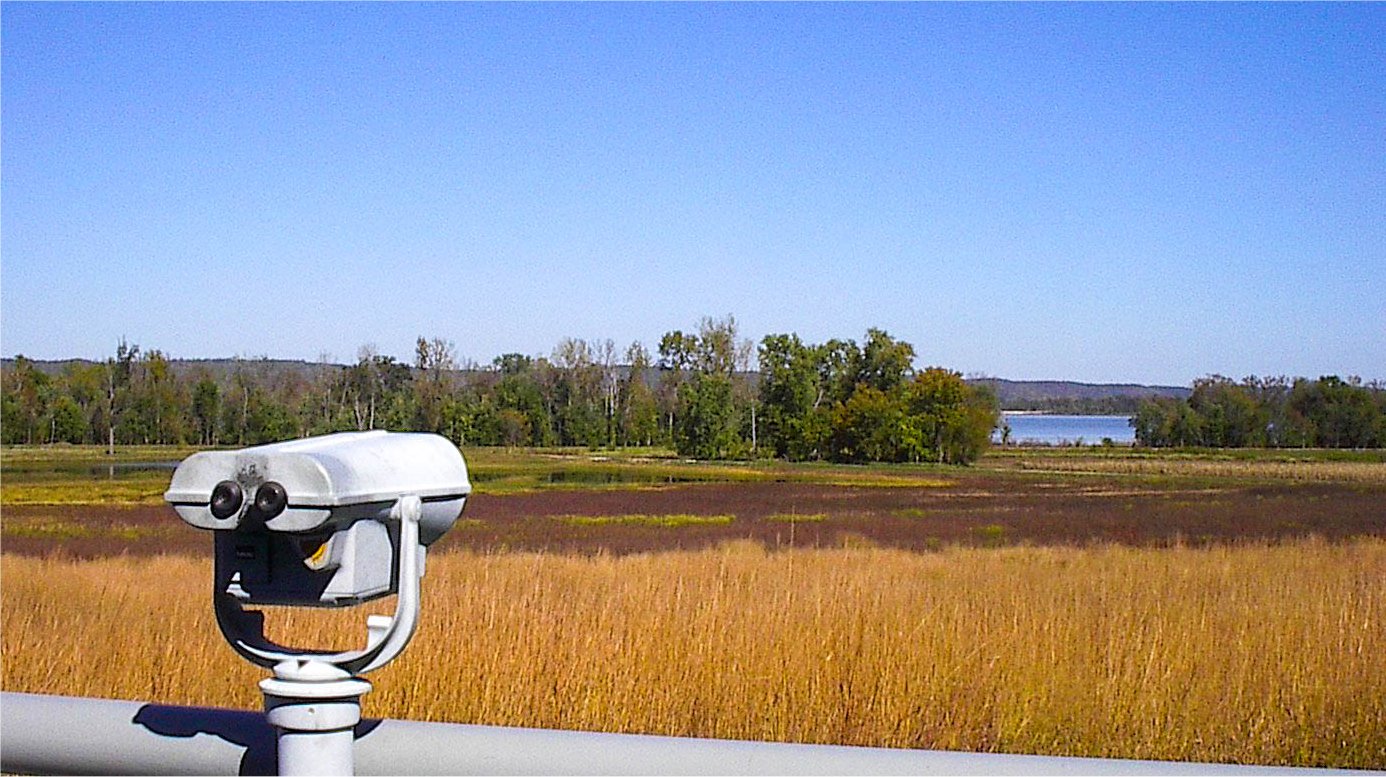
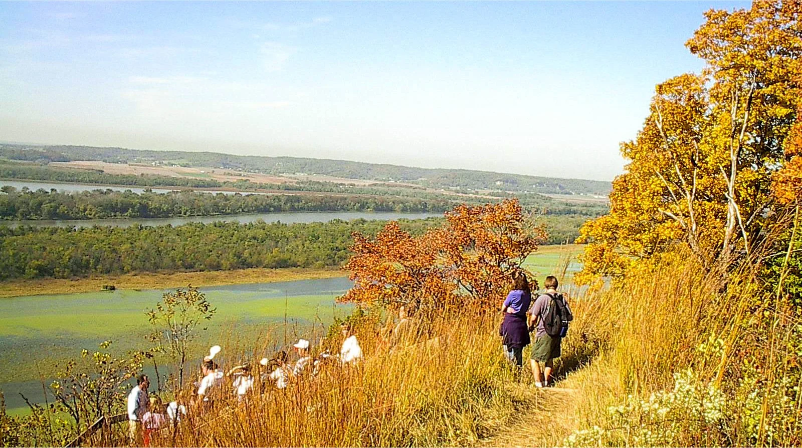
The trail ends near the scenic lookout on McAdams Peak that sits atop an ancient burial mound and looks over three prominent bodies of water. The nearest is Stump Lake, which was once bottomland forest. With the construction of Alton Lock and Dam #26 in the late 1930's, the forest was cut down by the CCC because it was feared that once the forest was flooded, dead trees would float down the river and possibly choke the new dam. Currently, Stump Lake is partially drained during the summer months to promote the growth of moist soil plants that attracts many types of birds. Beyond Stump Lake is the main channel of the Illinois River and Six Mile Island, named so because it is six miles north of the confluence of the Mississippi and Illinois rivers at Grafton. Further still is Swan Lake, which is part of the Two Rivers National Wildlife Refuge. Beyond Swan Lake is Calhoun County, and on a clear day the grain elevators at Hardin can be seen.
The Goat Cliff Trail connects with three trails: Ridge, Ravine and Hickory.